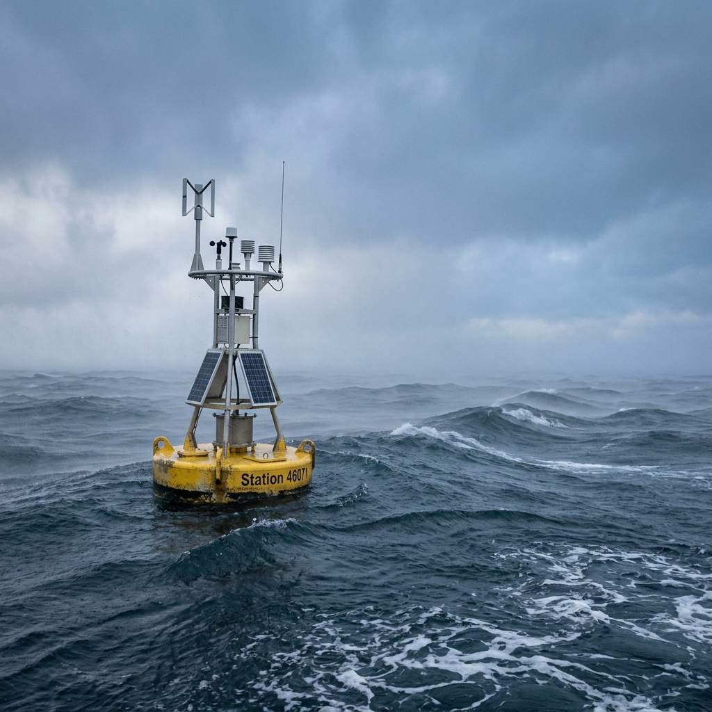
Bering Sea
Central & Eastern Bering Sea
A vast, shallow sea between Alaska and Russia. Winter ice pack, summer fog, and violent storms from the north Pacific create some of the most demanding fishing conditions in the world.
Nearby NOAA Stations
Closest buoys and coastal stations, in order of proximity.
Central Bering Sea buoy
Western Aleutians approach
Tide Predictions
No representative nearby tide station (nearest gauge is 53 nm away).
NWS Marine Forecast
Bering Sea
No forecast text available for this region.
Source: NOAA National Weather Service · Coastal Waters Forecast (CWF) · Updated ~4× daily
Weather Services — Jump Links
Open this location in external weather apps · 58.000°N, 170°W
Links open in a new tab at 58.000°N, 170°W · Windy shows 4 different forecast models — ECMWF, GFS, ICON, and NAM — for comparison
Weather models. Windy provides four independent forecast models: ECMWF (European, generally highest accuracy offshore), GFS (NOAA global), ICON (German DWD), and NAM (North American, higher resolution for coastal areas). When models agree, forecast confidence is higher.
Data: NOAA NDBC · NOAA CO-OPS · NWS Marine Forecasts · Not an official government service.